EN
EN  PT
PT ES
ES FR
FR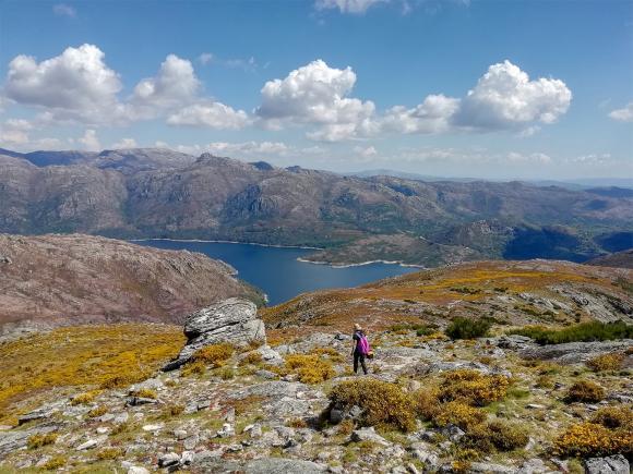
Serra Amarela
The Serra Amarela develops in an extensive territory that covers the area of Terras de Bouro, as well as the municipality of Ponte da Barca. It is a mountain that rises to 1361 meters, being the ninth highest elevation in mainland Portugal.


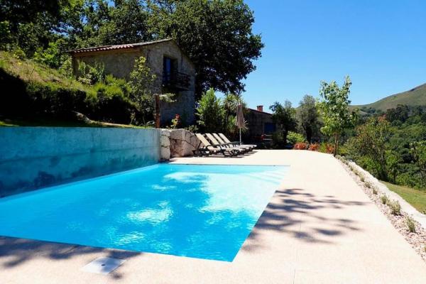
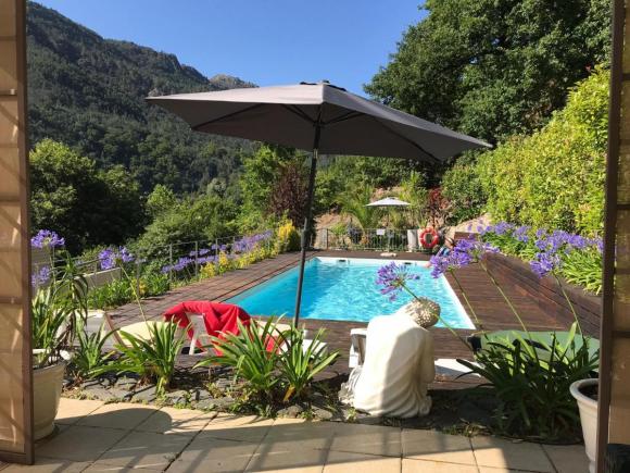
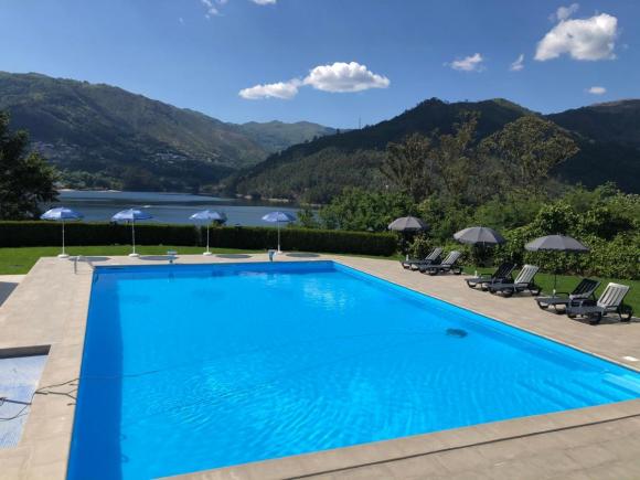
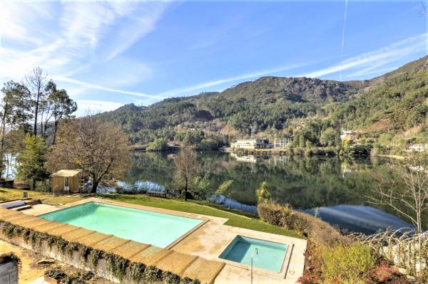
Campo do Gerês, Terras de Bouro
Terras de Bouro
Description
As a result of a geology and harsh climate, the Serra Amarela is mostly covered by dry scrubland dominated by heather and gorse and scrubland dominated by brooms, which exhibit their floristic peak between the months of April and May. Due to its rigorous and sometimes unstable climate, the incursions in this mountain range must be well calculated in order to avoid disorientation on foggy days or excessive insolation on hot days.
This mountain range is rich in mariolas (set of 3 or more overlapping stones), which harmonize the rugged landscape and constitute the shepherds' marks when guarding animals in the mountains. Nowadays, they serve as guiding marks for the right path of some walking trails, which meet landscaping sites.
In this extension of the mountainous landscape, interesting archaeological testimonies related to the two most important activities carried out by the population in the mountains prevail: the defense of the border and pastoralism. The first is expressed in the defensive complex of Chã do Salgueiral (Casarotas) and the second is especially expressed in the fojo of the wolf of Vilarinho da Furna and in the fojo of the wolf of Aldeia de Brufe.
Source: https://turismo.cm-terrasdebouro.pt/
Comments
There are no comments!
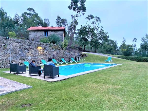
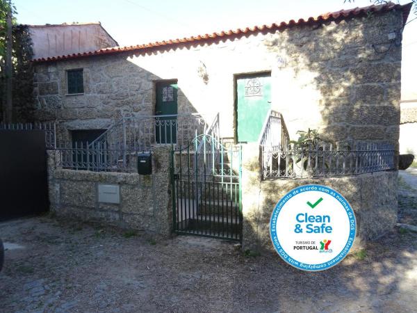
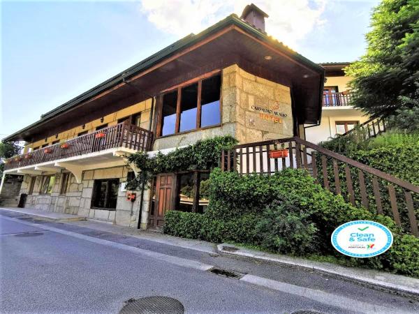
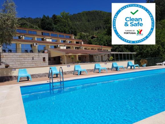
Partners same locality