EN
EN  PT
PT ES
ES FR
FR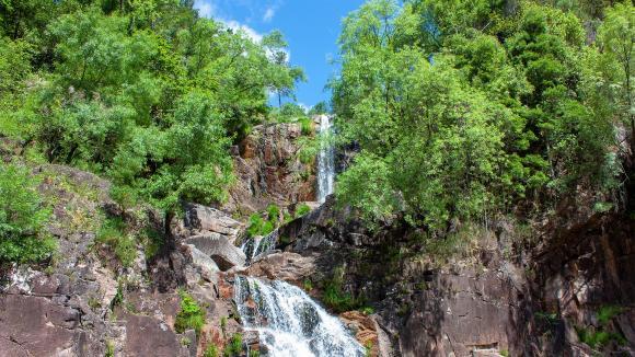
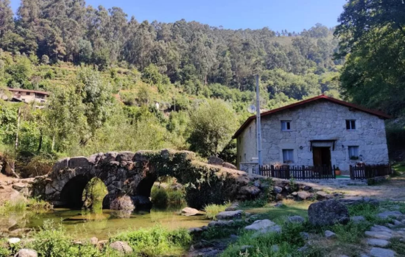
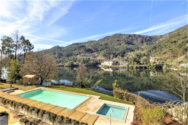
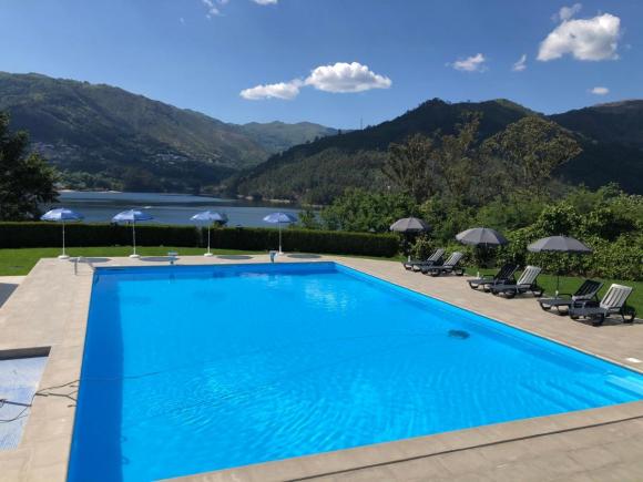
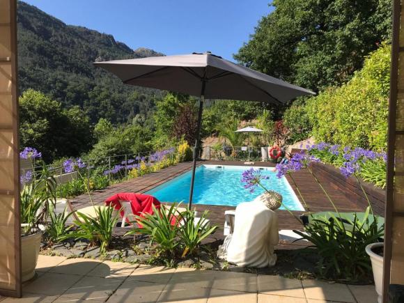
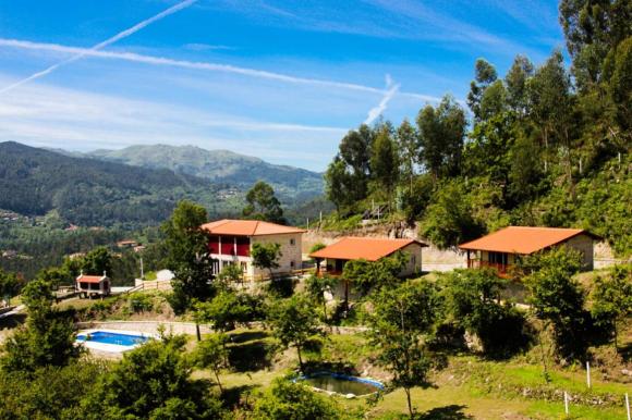
Serra do Gerês
The Serra do Gerês, which occupies a large part of the municipality of Terras de Bouro and extends beyond the border, proceeding to the territory of the Natural Park of Baixa Limia - Serra do Xurês (Spain), reaches its maximum point of 1548m ( Pico da Nevosa) and represents the second highest elevation in mainland Portugal.


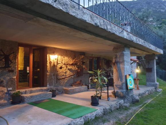
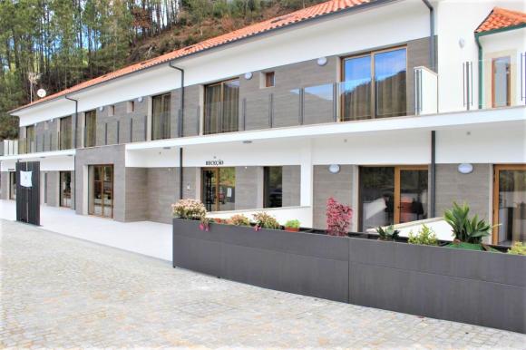
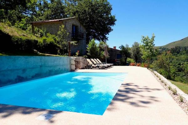
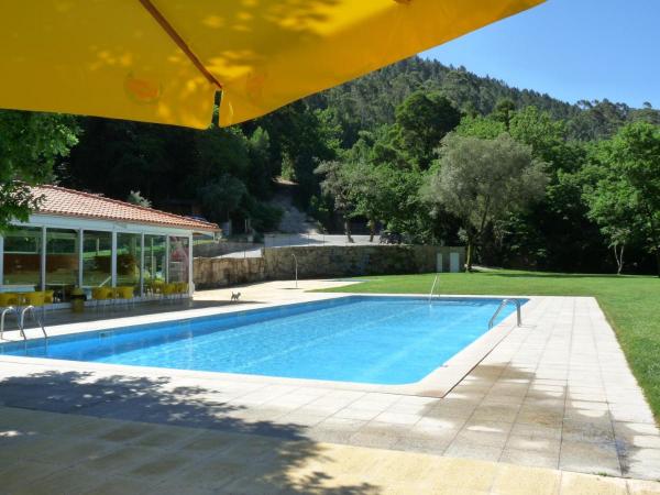
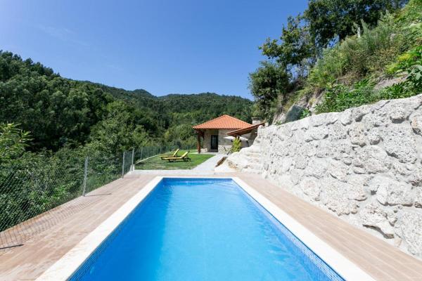
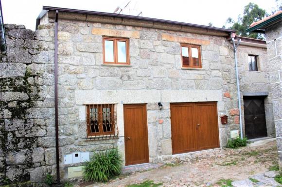
Vilar da Veiga, Terras de Bouro
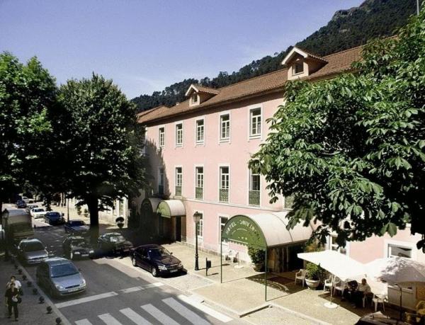
Terras de Bouro
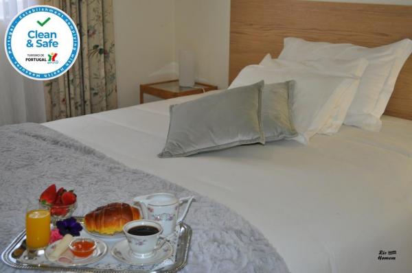
Description
This mountain is not only defined by peaks, but also by its showers and water courses in its acute valleys, where the main rivers, Homem and Cávado stand out.
Of its geological and geomorphological potential, the fault of Gerês stands out, responsible for displacing the valleys of the Cávado and Homem rivers and the thermal springs of Vila do Gerês and the Caldo river (Spain), as well as U valleys resulting from glaciations .
The various forest patches of the Gerês mountains, consisting of oak, holly, cherry, birch, pine, arbutus and yew, are home to a high floristic heritage, which is complemented by many other herbaceous species, of which we can highlight, the lily -do-Gerês, the fetus-of-Gerês and St. John's wort.
The existence of multiple natural biotopes helps to support a diverse fauna that goes far beyond the most recognized as the roe deer or wolf, which due to their elusive nature become difficult to spot. Wild in nature, but with domestic property, they can be seen grazing in the mountains, the indigenous breeds of garrano horses and barrosã cows.
Source: https://turismo.cm-terrasdebouro.pt/
Comments
There are no comments!
Partners same locality