EN
EN  PT
PT ES
ES FR
FR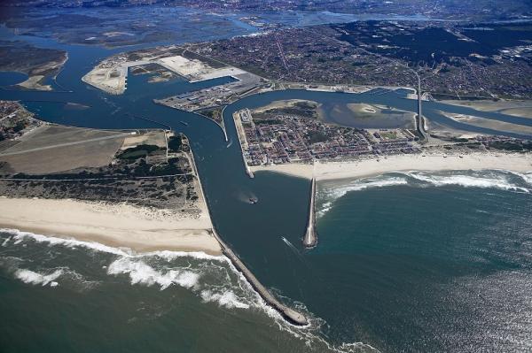
Ria de Aveiro
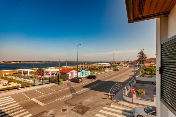
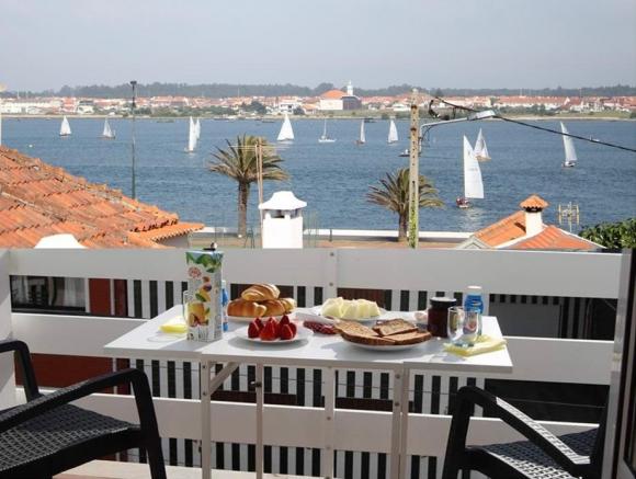
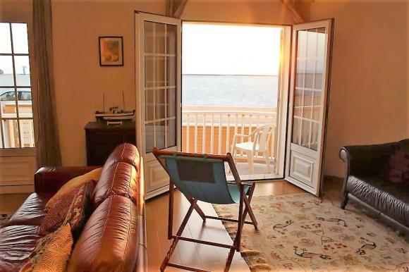
The Ria de Aveiro is a shallow coastal lagoon and extensive areas between tides. It extends for 45 km along the western coast of Portugal from Ovar to Mira. The total area of the Ria that is covered during high tide varies between 83 km2 at high tide and 66 km2 at low tide. The average depth is about one meter and the maximum depth is maintained artificially in the navigation channels, between 4 and 7 meters.


Ria de Aveiro
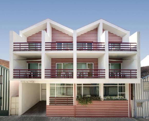
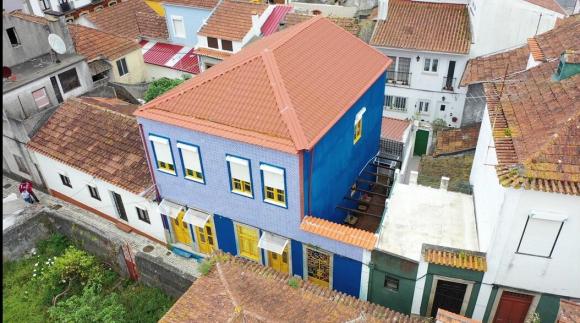
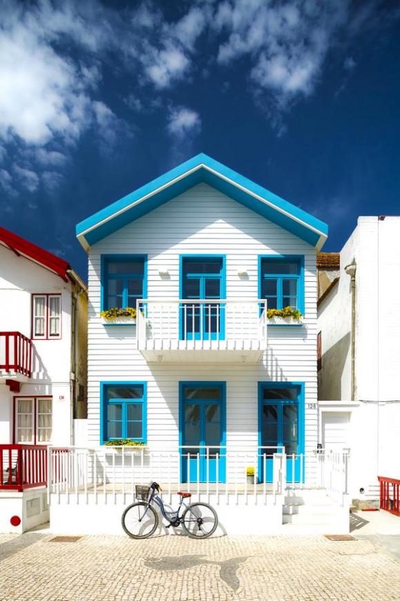
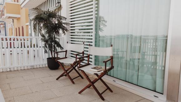
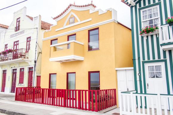
Ílhavo
Description
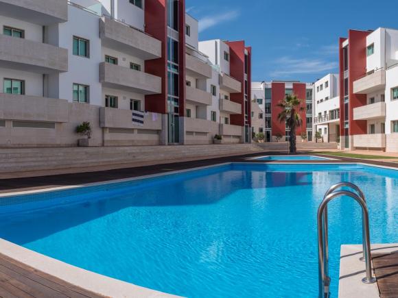
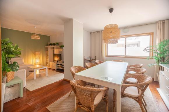
Today, the Ria de Aveiro, alongside the Tagus estuary and the Algarve coast, is one of the most suitable regions for the practice of recreational boating and nautical tourism.
The aforementioned maritime-tourist activity practiced on board of the moliceiros is in full development and sport fishing as well as water sports, are today as the new activities inside the lagoon (in Study of Economic Activities and its Dynamics - Final Report , Polis da Ria de Aveiro, September 2011, adapted).
At present, there are 6 nautical stations certified as such in the Ria de Aveiro: Ílhavo, Aveiro, Vagos, Murtosa, Ovar and Estarreja. "Ria de Aveiro" is also the name given to the tourist destination, which is inspired by the name of this lagoon and which includes the 11 municipalities in this region: Águeda, Albergaria-a-Velha, Anadia, Aveiro, Estarreja, Ílhavo. Murtosa, Oliveira do Bairro, Ovar, Sever do Vouga and Vagos.
Source: http://www.visitilhavo.pt
Comments
There are no comments!
Partners same locality